Black Butte (Oregon Cascades; 6,436')
|
Black Butte is a remarkably symmetric cinder cone just west of the tourist trap known
as Sisters, OR. The famed Mouth of the Metolius can be found at its western base, and
an amazing fault ridge extends North from it. In summer one can drive up halfway
to the summit, and the trail is a popular 90-minute family affair, including toddlers
and tiny dogs, but in winter, with lots of new snow and 3,100 vertical
feet from the highway, it's a decent approximation to a real mountain.
Topo Map
Routes: W Side (moderate ski descent)
 E Side (moderate ski descent) E Side (moderate ski descent)
|

Black Butte in early September seen from Highway 126 just east of Santiam Pass
|
| |
|
Party: Dietrich and Paul Belitz
Time: 4hrs 40 mins from highway to summit; 1 hr 30 mins down; 7 hrs roundtrip
Comments: Black Butte was skiable from the summit to the highway, which
happens rarely!
Trip report:
After having drowned in three feet of new snow in dense forest on an attempt
at Echo Mt. a few days earlier (we covered 750 vertical feet in 2.5 hrs!), we
took advantage of a break in the weather and went to Black Butte, mostly
because it's got essentially zero approach.
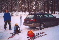
We managed to park at an unofficial Sno Park right at the intersection of the
highway with the road to Camp Sherman, and at 9:15am we set out through deep, unconsolidated
snow. Under the pine trees it was bearable, but in open spots, with Manzanita
under the new snow, there was some unbelievable wallowing. We made decent
progress, though, alternating breaking trail, and climbed 1,500' in the first
two hours. There was some slab formation, so we stayed left (north) in the
forest to avoid the open slopes crossed by the summer trail. At around 5,500'
conditions got worse, slowing us down quite a bit, and we got doubts about
making it to the summit. On the last few hundred vertical feet we got some
wind slab, though, and that helped a lot. Shortly before 2pm we reached the
old lookout. Admittedly, that's still some 30' below the true summit, but
since it's the traditional ``summit'' rest spot, and since it was the only
place where we could get out of the wind, we called it good there. The
thermometer showed 20 degrees, and a west wind at about 20 miles per hour
produced quite some wind chill. The Cascades were mostly socked in, but there
was some sunshine over Central Oregon, which had continuous snow cover as far
as we could see. We brewed up, took some pictures, and prepared for the ride
down. The first part was a bit crusty (the downside of the wind slab we had
greeted as a godsend on the way up), the next 1,500' or so were really good,
then the snow became a bit heavy but was still okay by any standards (and
terrific by Cascade standards). We got back to the car with
half an hour to spare until sunset. Nice trip!
Photo Gallery:
(Click the pictures to see a higher
resolution image)

|
|
|
|
|

|
|
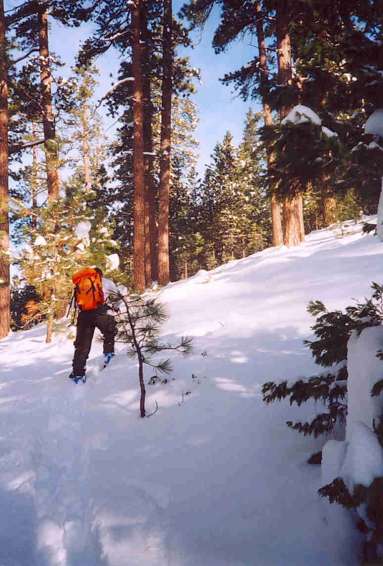
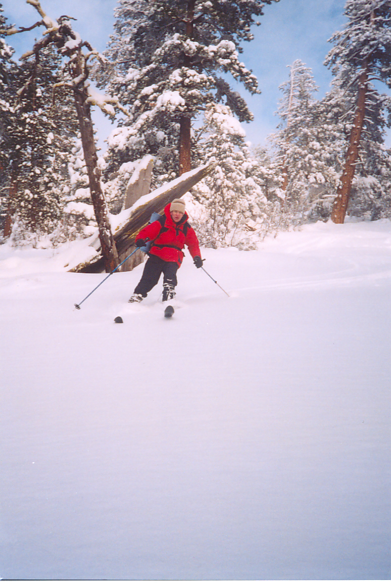
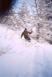
| Paul working hard |
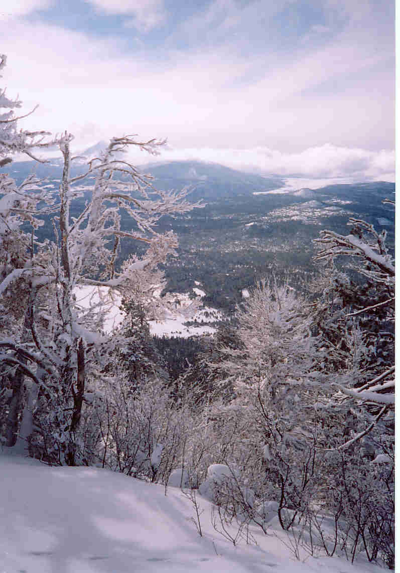
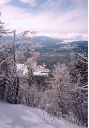
View West from high on Black Butte |
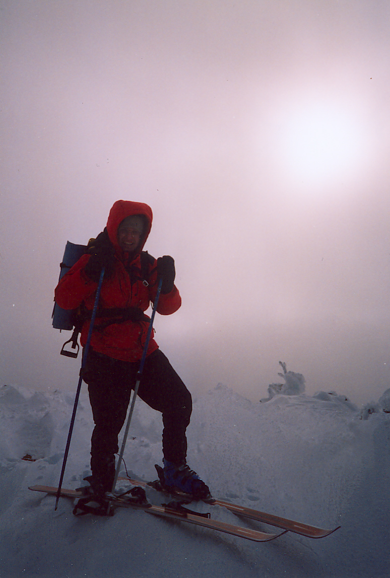
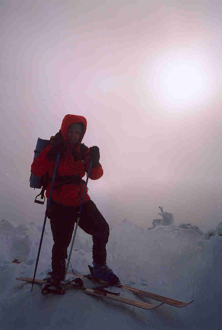
DB on a cold and foggy summit |
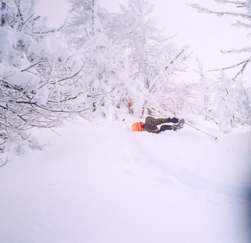
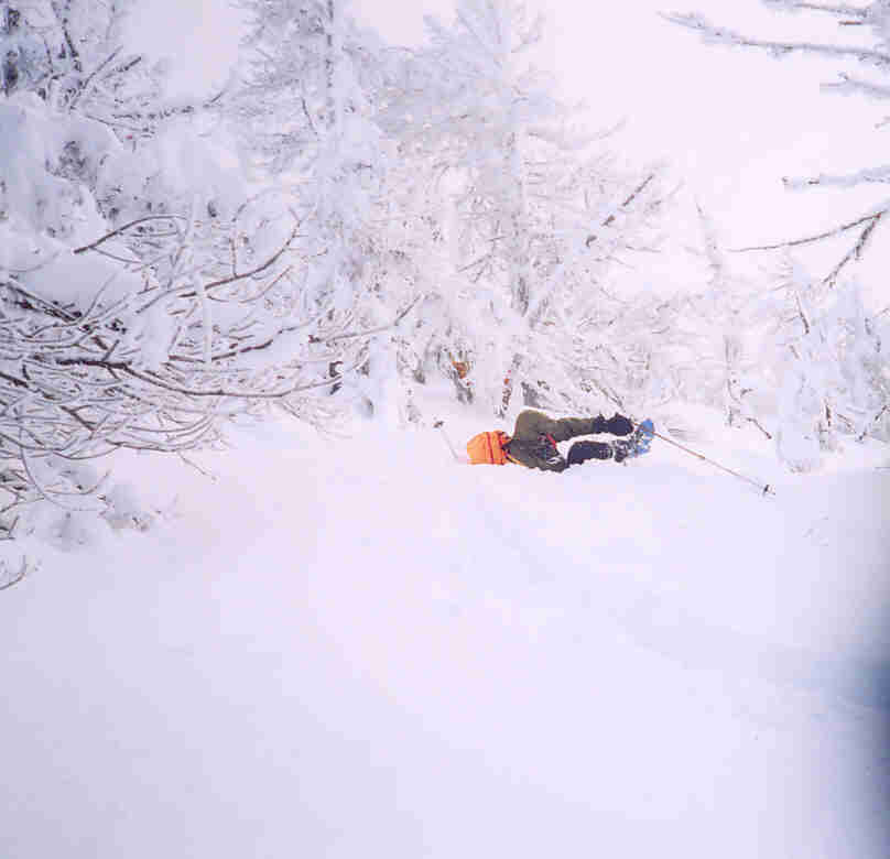
Paul digging a bit too deep |
This turn worked better |
Watch that outside ski! |
Oh no! Back at the car already |
|
|
|