Routes: Dirt Road (I suppose
this would be Class 0).
|
|
Mauna Kea is the highest point on the Hawaiian Islands. Its summit area is littered with large
telescopes; this is one of the best astronomical sites on the planet. Accordingly, there is a
road leading to within 100 vertical feet of the true summit. There also is a hiking
trail, but few people bother. Mauna Kea is not exactly a wilderness experience, but the views are
amazing.
Routes: Dirt Road (I suppose
this would be Class 0).
|
|
|
| References: | ||
Date: March 22, 2011
Party: DB & WAL
Route: N/A
Equipment: Rental Car
Time: N/A
Trip report:
Well, this was not a climb. It was not even a hike. Truth be told, we drove up there and just walked over from the observatory access road to the true summit. But, hey, this is a huge and very impressive volcano, it's the highest point in Hawaii, and it's higher than anything in Oregon and anything in Washington State with the exception of Mt. Rainier, so I just have to include it here. The altitude was noticeable, having come from (literally) sea level to almost 14,000' in a couple hours, but we felt fine. We were glad we had brought our down jackets, though, ridiculously out of place as they were everywhere else on this trip. The views are breathtaking, especially from the summit, but also on the way up and down.
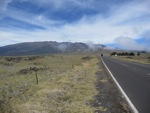
Mauna Kea from the Access Road. |
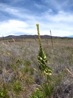
Wildflowers along the road. |
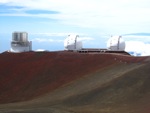
The Keck Twin and Subaru telescopes near the summit. |
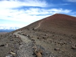
The true summit from the top of the access road. |
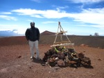
Dietrich on the true summit. |
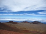
View northeast from the summit. |
||||||
Another stratospheric view (due north) from the summit. |
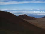
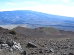
Mauna Loa behind cinder cones. |
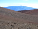
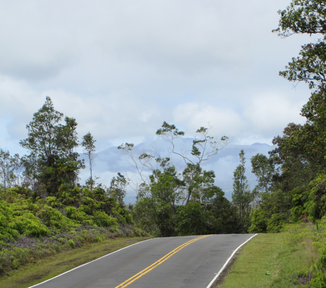
Mauna Loa from lower on the access road. |
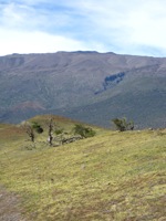
View back on Mauna Kea from Saddle Road. |