Mt. Elbert (Sawatch Range, CO; 14,433')
|
Mt. Elbert (14,433') is the highest peak in Colorado, and the second highest peak in the contiguous fortyeight states.
It is a massive mountain with two subsidiary summits; South Elbert (14,134'), and
Bull Hill (13,761'), in addition to the true summit. Nevertheless, it is just a hike on any route, with the main challenge
being the altitude. The views are, of course, superb.
Topo Map
Routes: | SE Ridge (II, Class 2) |

|
References: |
Gerry Roach, Colorado's Fourteeners,
Fulcrum Publishing (1992) |
| | W.R. Borneman and L.J. Lampert, Climbing Guide to Colorado's Fourteeners,
Pruett Publishing (1990) |
| | L. Dawson, Dawson's Guide to Corado's Fourteeners, Volume 1,
Blue Cover Press (1999) |
| | M. Garrett and B. Martin, Colorado's High Thirteeners ,
Cordillera Press (1992) |
|
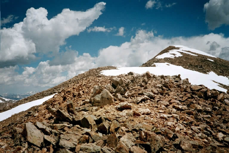
Mt. Elbert (right) and South Elbert (left) in June from the SE Ridge
|
Party: Dietrich Belitz, Thomas Vojta, Monique Belitz (to South Elbert)
Time: 10 hrs roundtrip from Black Cloud Trailhead
Comments: This is only a hike, albeit a nice one
Trip report: Thomas was keen on Capitol, and I was keen on Cathedral Peak, but for various
reasons we settled on Elbert, which Monique was keen on. We started out from Black Cloud Trailhead at 5am under cloudy
skies, and gained elevation fast on the good trail. After two hours or so we got above the clouds and had great views of
sunlit La Plata above the fog in the valley. While we approached the ridge that leads to South Elbert it actually started
snowing, but these were only showers. At 9:30 we were on South Elbert. Unfortunately, Monique was not feeling well, and
I quickly got her down into the connecting saddle, where she was fine. This meant no summit for her, though, which was
too bad. I sent Thomas to the summit while I stayed with Monique, and after he came back I started out on the snow-covered
South Ridge. It may only be a hike, but a strong wind (35-40 mph) made it more interesting than your average hike, and the
views are phenomenal.
We had planned to go down via Bull Hill, and when I returned from the summit, Monique and Thomas had apparently started
out in that direction, as they were nowhere to be found. After a while I saw a party of two ahead of me, quite a distance
away, which might or might not have been them. This resulted in some confusion, and in the end they went down the ridge
from Bull Hill toward Fidelity Mine, while I picked my way through the basin between Bull Hill and South Elbert. We
arrived simultaneously at the trail junction between the two creek crossings of Black Cloud Trail, and an hour later we
were back at the car. Nice hike!
Photo Gallery:
Click the pictures to see a larger image.
|
|
|
|
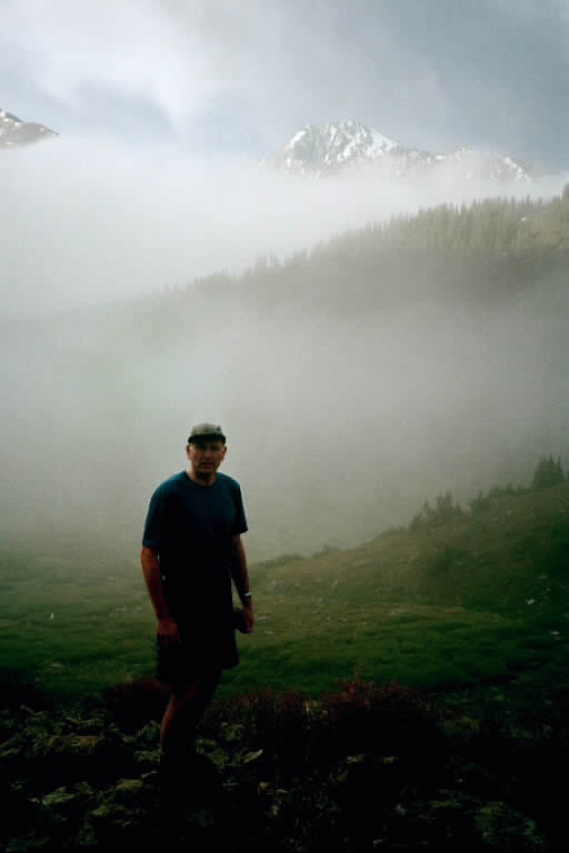
| View of La Plate through the morning fog |
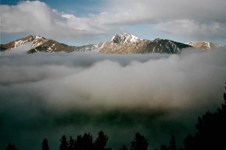
View of La Plata from the SE Ridge |
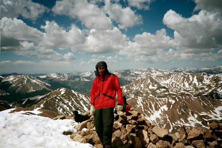
That's me on the summit |
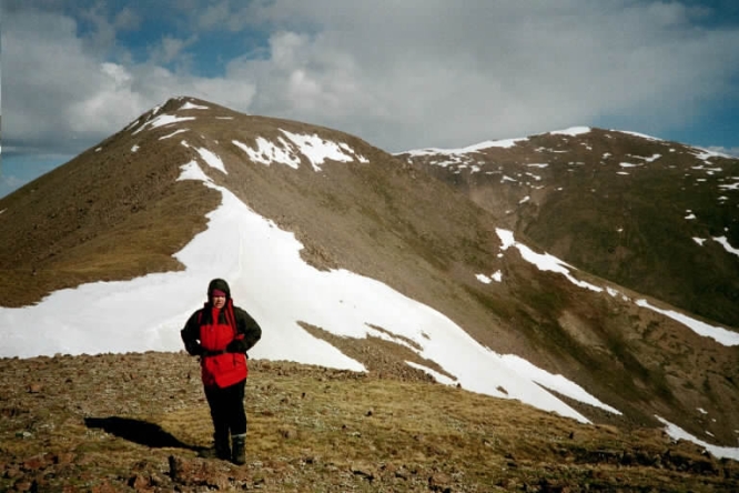
The summit ridge of Elbert, approaching from South Elbert |