 A Permanent Presence
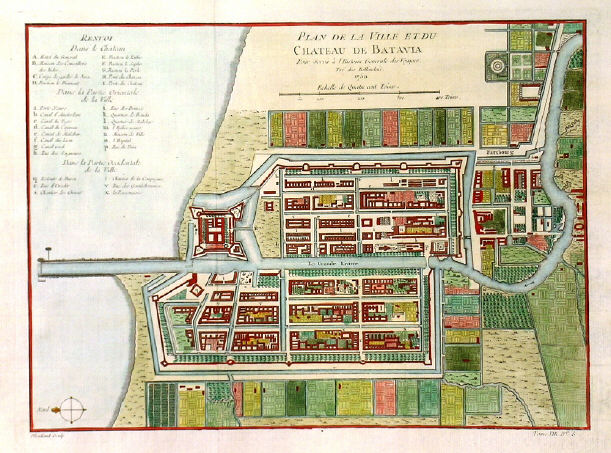
Image right: Plan de la Ville et du Chateau de Batavia
This map of Batavia comes from the richly illustrated travelogue of Johan Nieuhoff, who participated in a delegation from the Dutch East India Company to the Emperor of China. After his return, Nieuhoff published an account of his experiences, which became one of the greatest best-stellers of the late seventeenth century in the Netherlands.
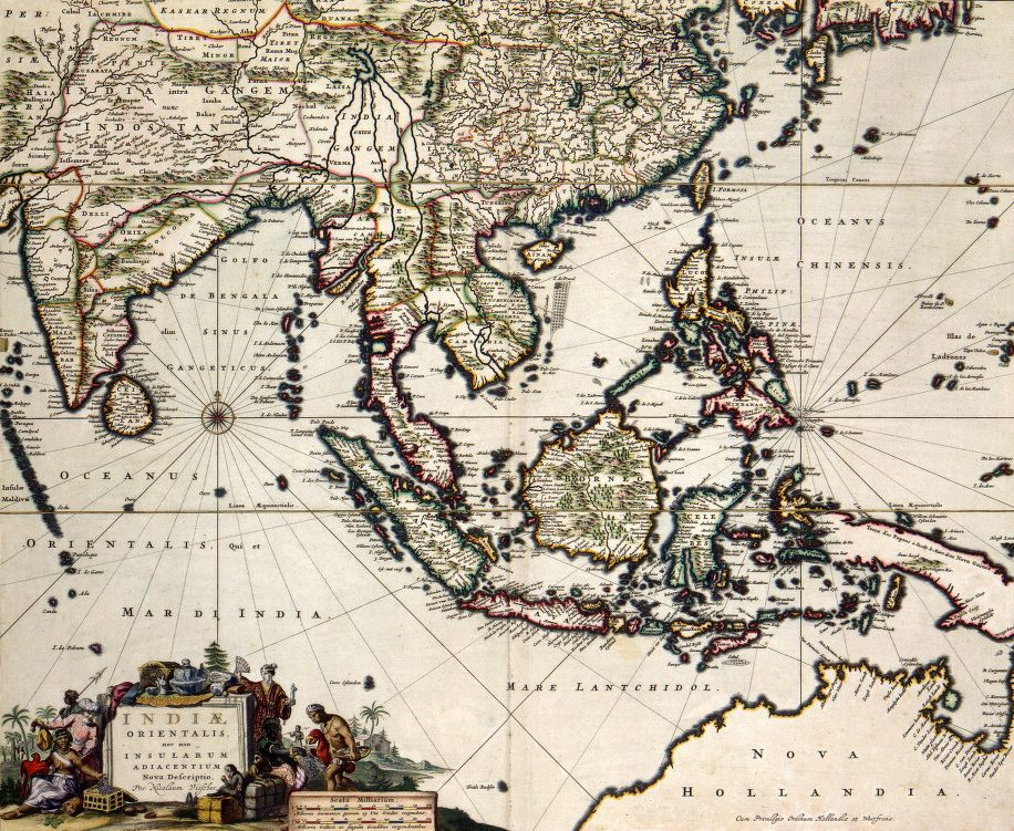
The map below comes from the same period as Nieuhoff's mission, and shows the South Asia and the Spice Islands, as known to cartographers of the Dutch East India Company in approximately 1680.