|
Interactive Community Map
Don't want just simple static maps? From this
page, you can download a special map viewer so that you can turn on and off map layers as you desire, query individual shapes
for their underlying data, and print the resulting maps. To do this,
you must install a small program called ArcReader on your computer - this
is a document viewer much like Adobe Acrobat, but works with special map
files.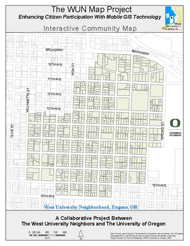
If you already have ArcReader
Click the following button for the data:
If you DO NOT have ArcReader.
Follow these steps to install ArReader:.
-
Right click on:
ArcReader,
and select "Save as...", then save the file to your computer
(Alternatively, you can download the file direct from its source:
click here.)
-
Follow the instructions from the installation program
(the whole process takes 10 minutes or so and may appear to be stalled
or not working, but hang in there.)
-
Once installed, return to this page and click on the
button above.
Downloading and Viewing the Data
-
Download the data by clicking on the button above - this
will download a zipped file called "WUNMAP.zip". The file is about
844KB, which should download in 4 minutes on a 56k modem.
Unzipped, the files are about 2MB.
-
Unzip the file on your computer to whatever location you
desire. (As a suggestion, make a folder named "WUNMAP" on your C:
drive and unzip the file there.)
-
Navigate to this location and you will see 2 main
things: 1) a file called "WUNMAP.pmf" and 2) a folder called "gis_files"
-
Double click on the WUNMAP.pmf file to start ArcReader
with the WUN data loaded.
-
For help in navigating and using the ArcReader tools,
you can visit a nice ArcReader help page organized by the
Middlesex County Extension Center.
|