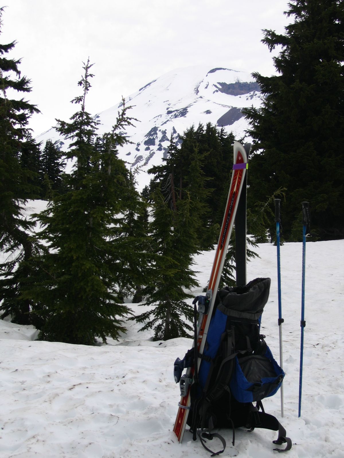
The snow pack in the Pacific Northwest was unusually low in 2004/2005, so I
figured if I wanted to ski a big mountain I had better do it early. Consistent with the low snow pack, Cascade Lakes
highway had been open since May 21, and so I planned on South Sister on Memorial Day weekend. The forecast was for
showers in the morning followed by thunderstorms in the afternoon, but Monique, who wanted to make drawings at the
lakes, and I nevertheless got going at 4am under thoroughly overcast skies. At Devils Lake it was still overcast,
with rain-producing squalls all over the vicinity. At 7:30 I started out, with serious doubts about the weather.
There was snow at Devils Lake, but the trail turned out to be mostly
snow-free up to the huge boulder two-thirds up the approach gully. In the gully I passed a party of two who turned out
to be the only people I met face-to-face all day. By the time I reached the flats above Moraine lake
the weather had further deteriorated, and towards the west it looked truly awful. Shortly thereafter it promptly started
to rain, but before I could seek shelter in the trees it stopped again, starting a pattern that seemed to divert the squalls
to the west, skirting South Sister. I hid in one of the last tree stands from a noisy group of Mazamas coming down,
who apparently had turned around on account of the weather, and then started the ascent to the Lewis Glacier Saddle
at 8,880'. Apart from the Mazamas, the only other people on the mountain were a few parties on skies which were way
ahead of me. (The couple I had met in the gully I never saw again; they apparently were not headed for the summit.)
The last of these skied off of the crater rim towards the south-west while I was still on the moraine, so
I had a true solo experience.
While I was climbing the flats started to get engulfed in clouds. Within minutes, the entire shoulder of the
mountain was covered by clouds, which started leaping up towards my position. I expected to get whited out, but then the
clouds disappeared as fast as they had formed. After that the weather improved for a while, and around 8,500' I noticed
I was casting a shadow, which prompted me to finally put on sun screen.
On the way up the Lewis Glacier moraine the wind started to pick up, and squalls headed for me again. I could see no signs
of them being electric, and so I kept climbing. On the crater rim the wind was strong enough to make it hard to keep my
balance with my skies strapped to my pack, and the latest of the approaching squalls made me wonder whether going to the
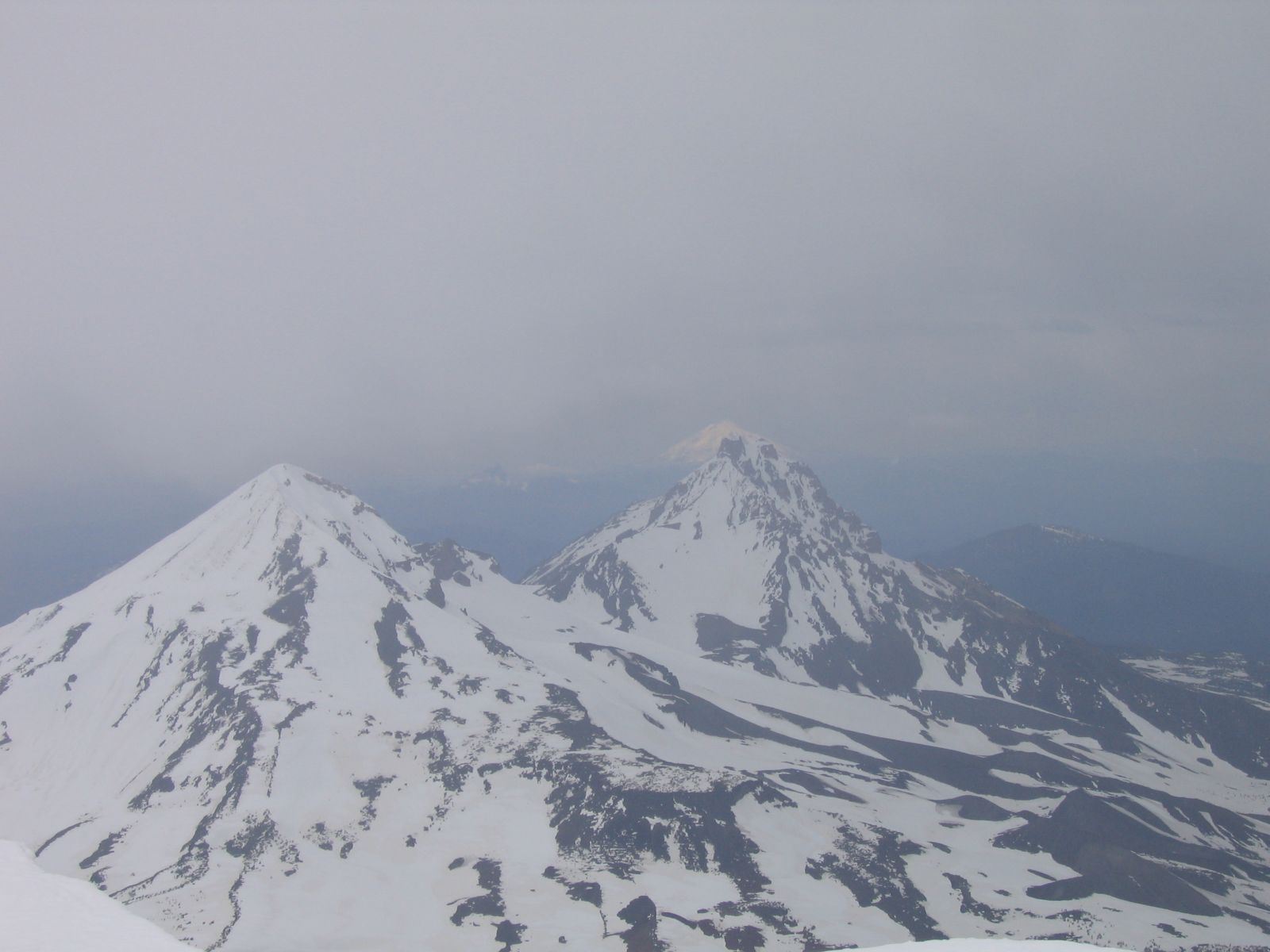
true summit was a good idea. I decided to go after all, and the squall promptly got diverted again. North and Middle Sister,
however, were both covered by clouds, but through the mist I could see Mt. Jefferson in the sun in the distance. Weird
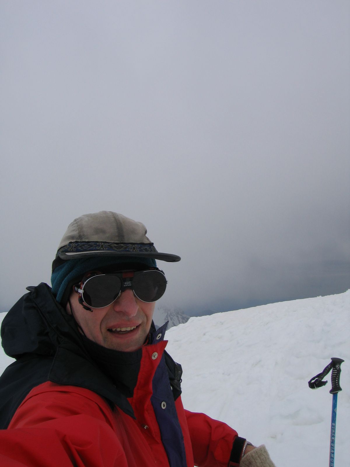
weather! It had taken me six hours to get to the summit from Devils Lake; I'm not quite sure why it took so long. Snow
conditions were reasonable, so that's unlikely to be the reason. Maybe I ate and drank too little on the way up, my intake
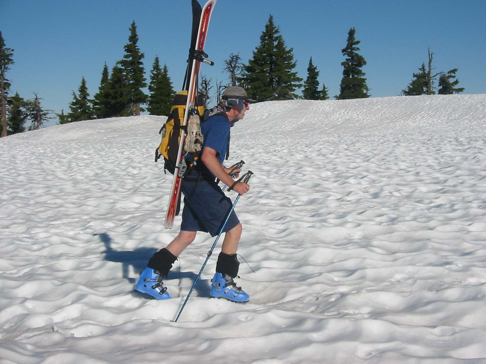
was definitely on the low side. My decision to do the entire hike in ski boots may also have contributed, sneakers would
have been easier and faster both in the approach gully and for most of the Lewis Glacier moraine.
I did not linger long on the summit before putting on skies and making my way back to the south crater rim, careful to not
get blown over the Lewis Glacier headwall by the fierce gusts. I called Monique to let her know I was running late, and
even got a connection; then I started on the 30-minute, 3,500' run down to the flats. The snow up high was very good, lower
down it became a bit heavy, but the skiing was still fun. After traversing the flats again I managed to ski down to the
boulder, then hiked back out to Devils Lake.
On the way back to Highway 58 the storms turned electric, the temperature dropped by 25 degrees, and then it was dense fog,
pouring rain, and lightning all over all the way back to Eugene. I can't believe how lucky I was to have summited with the
weather that unstable!
Photo Gallery:
Click the pictures to see a higher resolution image.
|

|
|
|
|
|
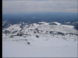
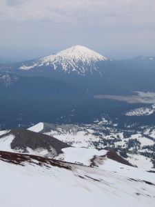
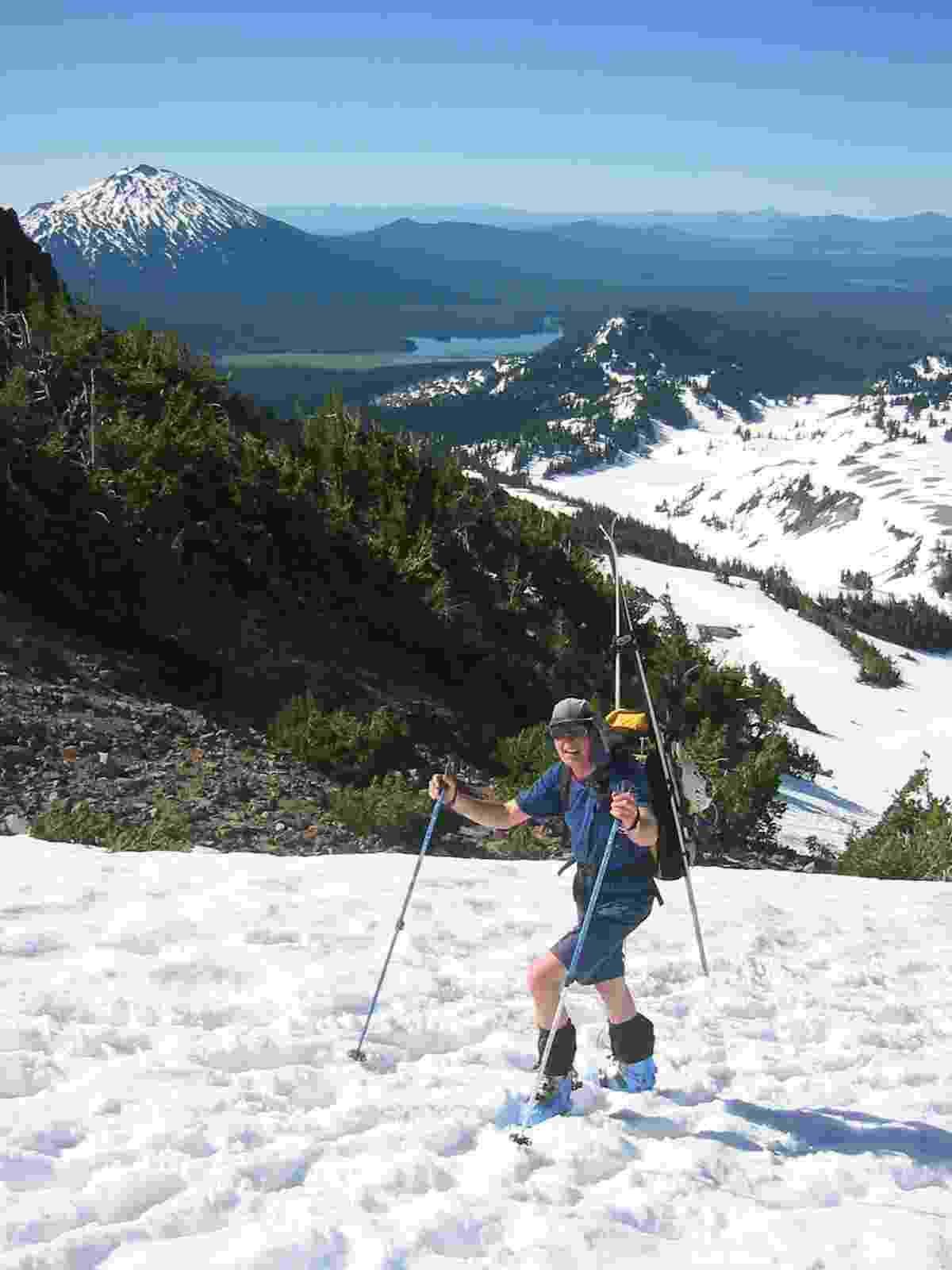
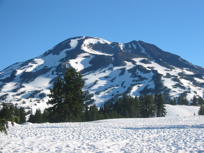
| View of South Sister from the flats. Note the
pale light. |
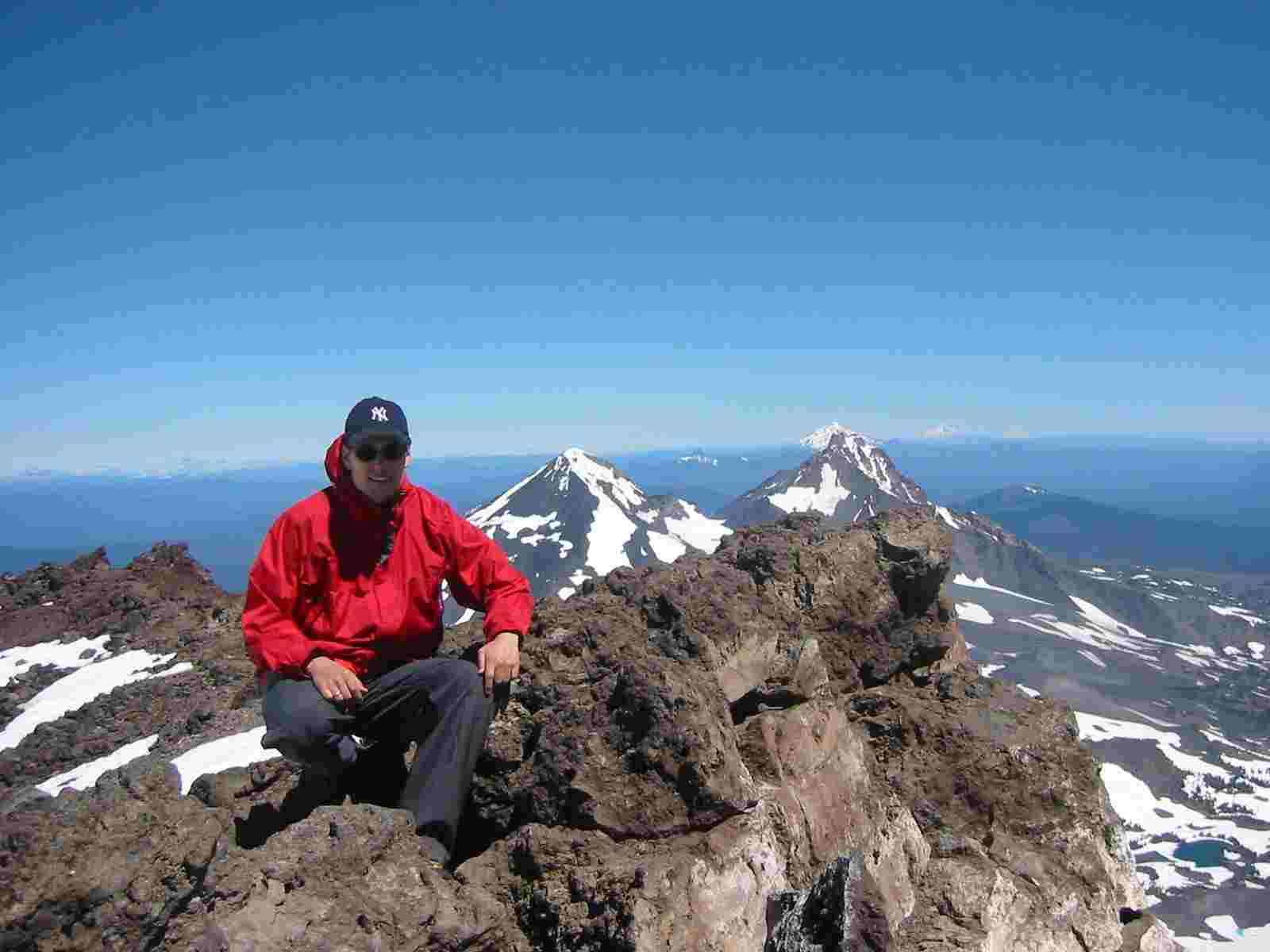
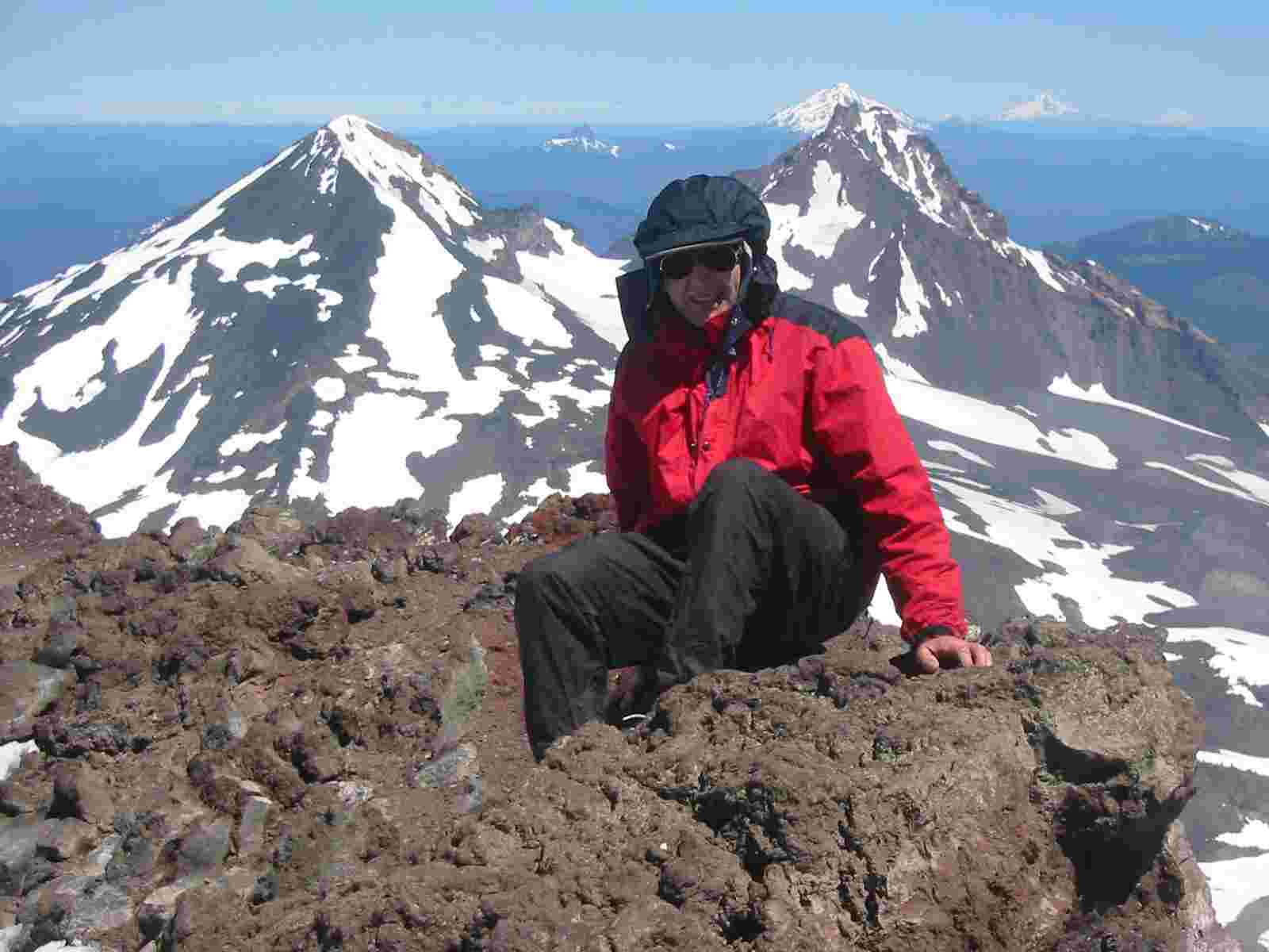
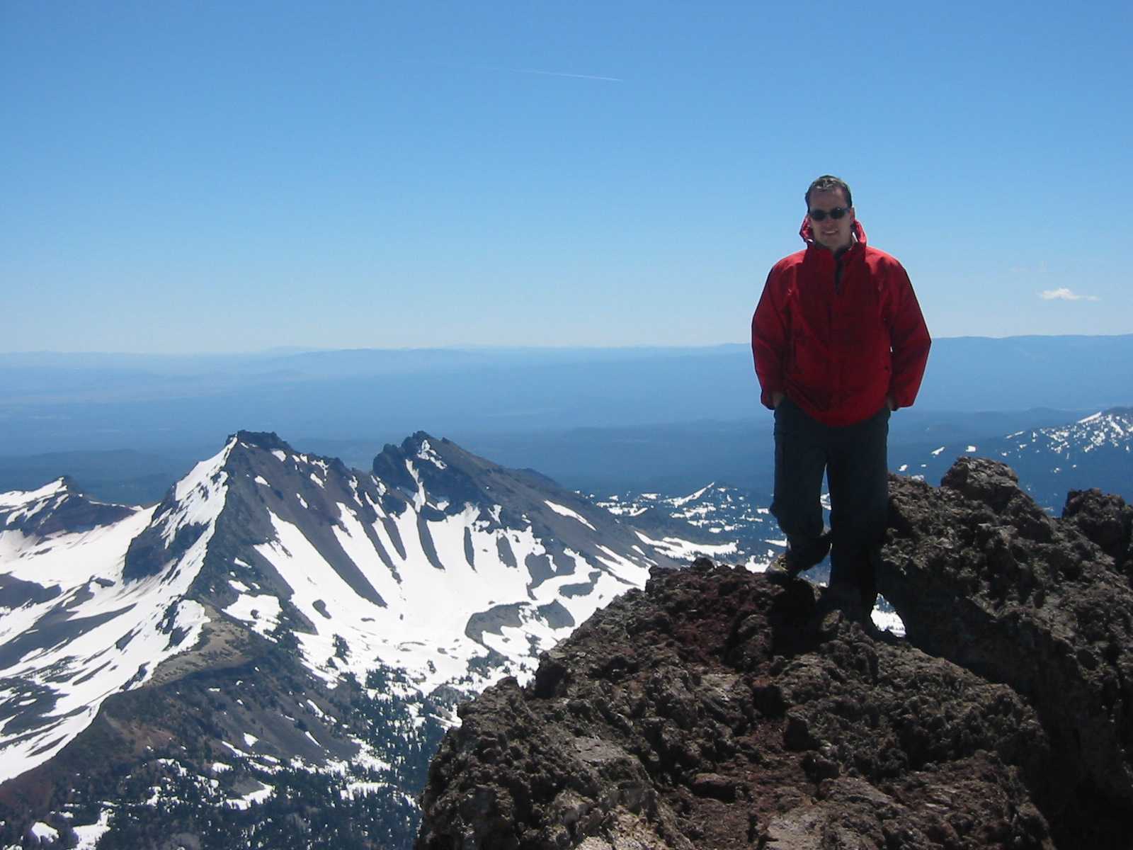
On the summit, with the foot of Middle Sister
barely visible in the background. |
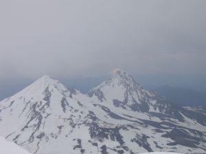
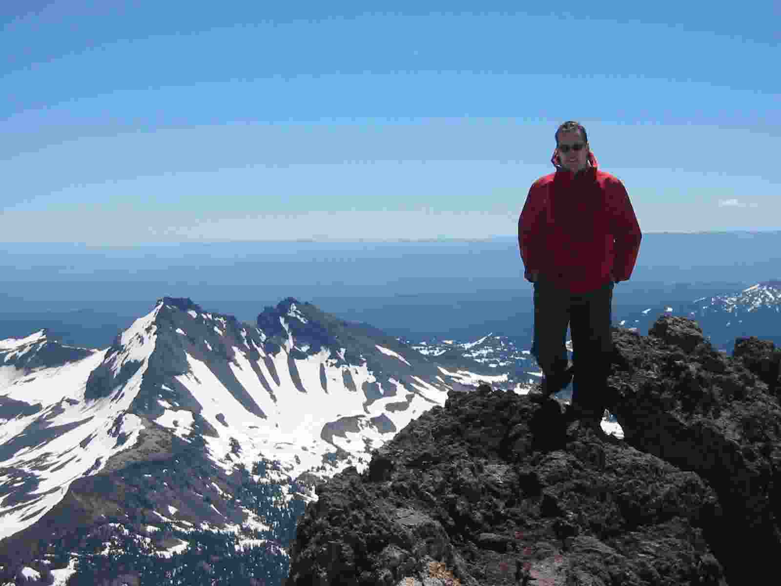
Middle and North Sister minutes later, with
Mt. Jefferson in the background. |
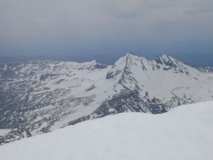
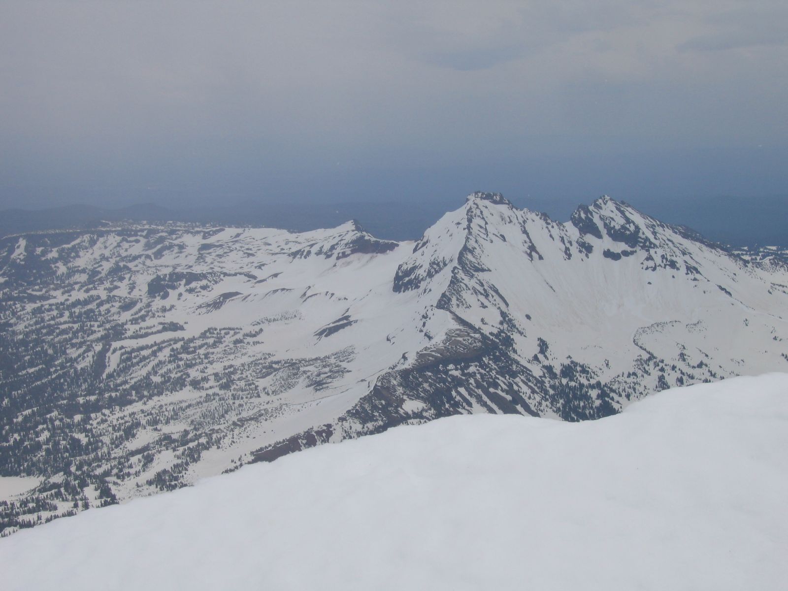
View of Broken Top from the summit. |
The big lava flow seen from the descent. |
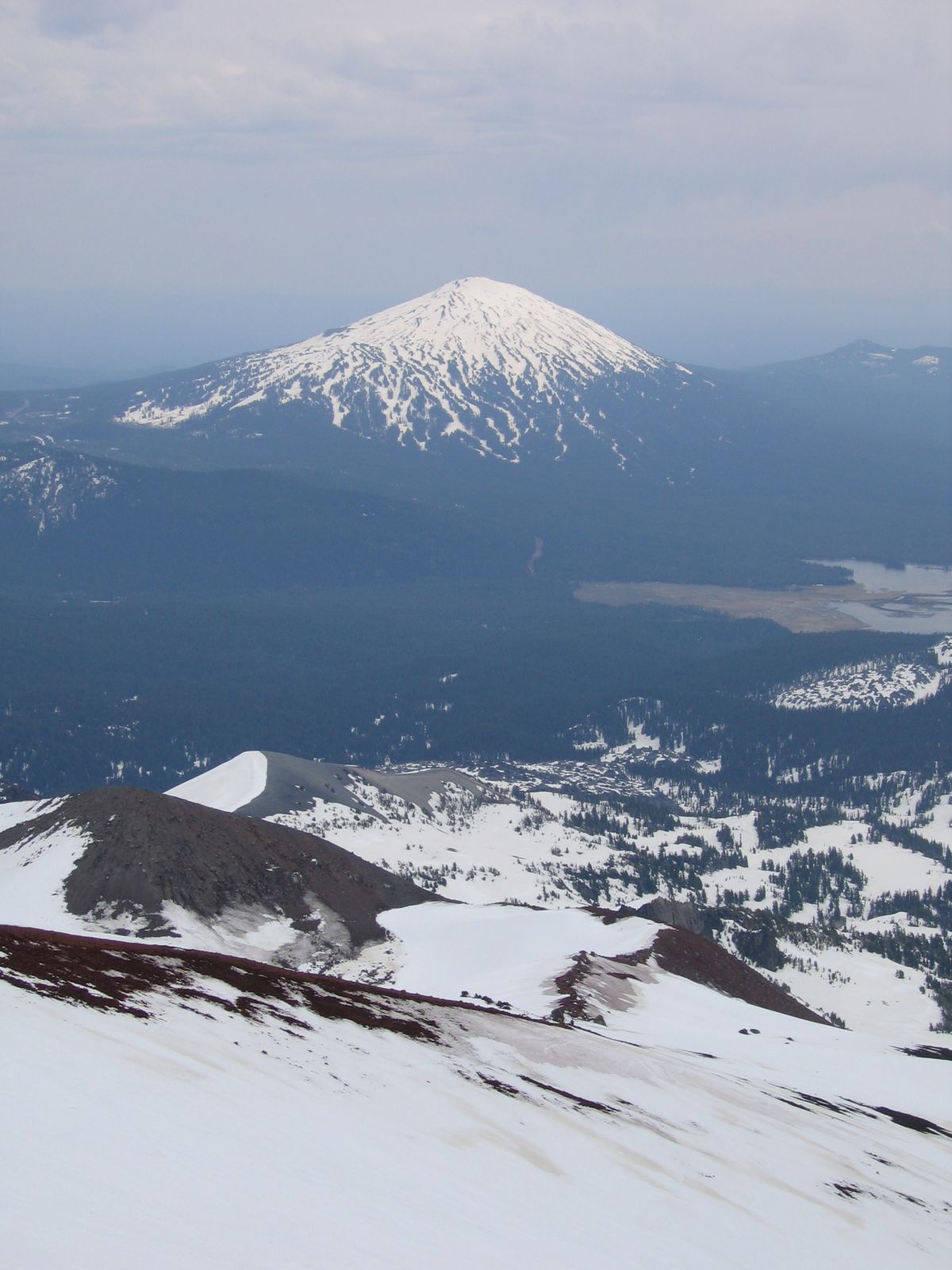
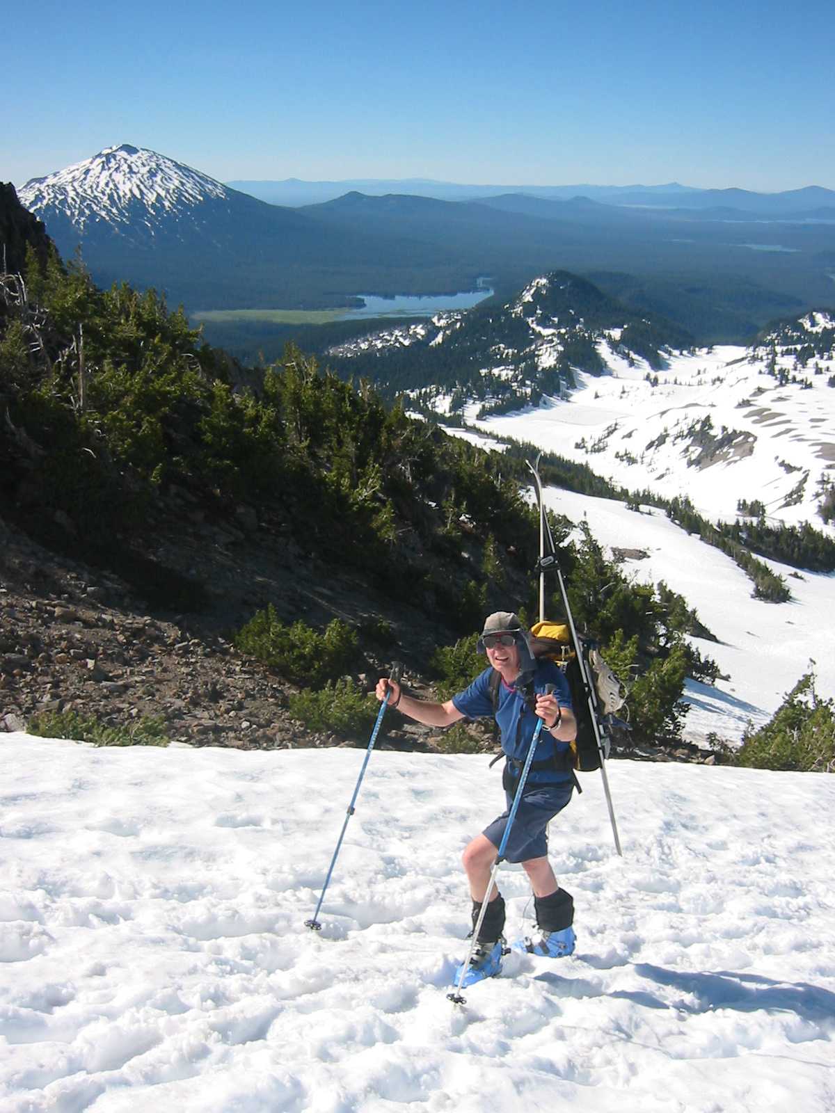
View of Mt. Bachelor, with the Lewis Glacier moraine
on the left. |
|
|
|
|
|
|
|

|
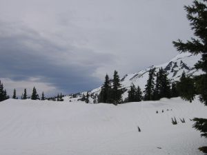
| View back towards the mountain from the flats |
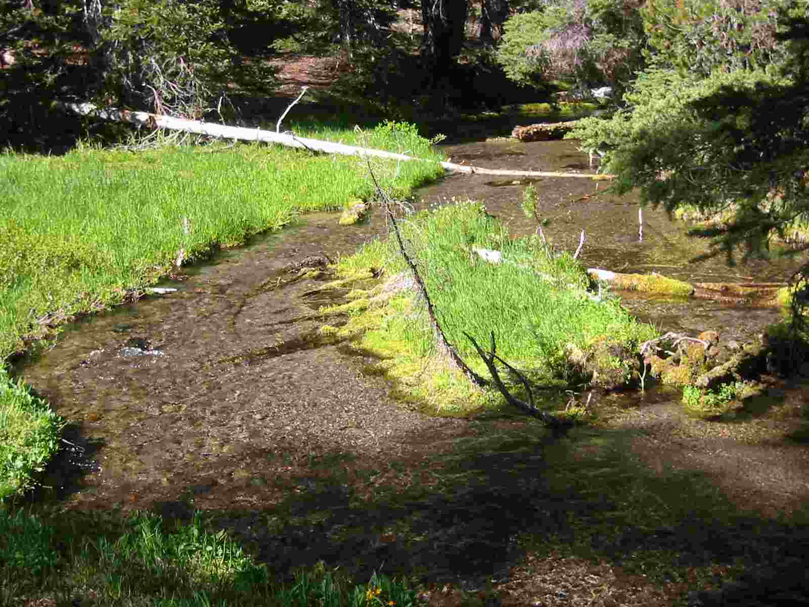
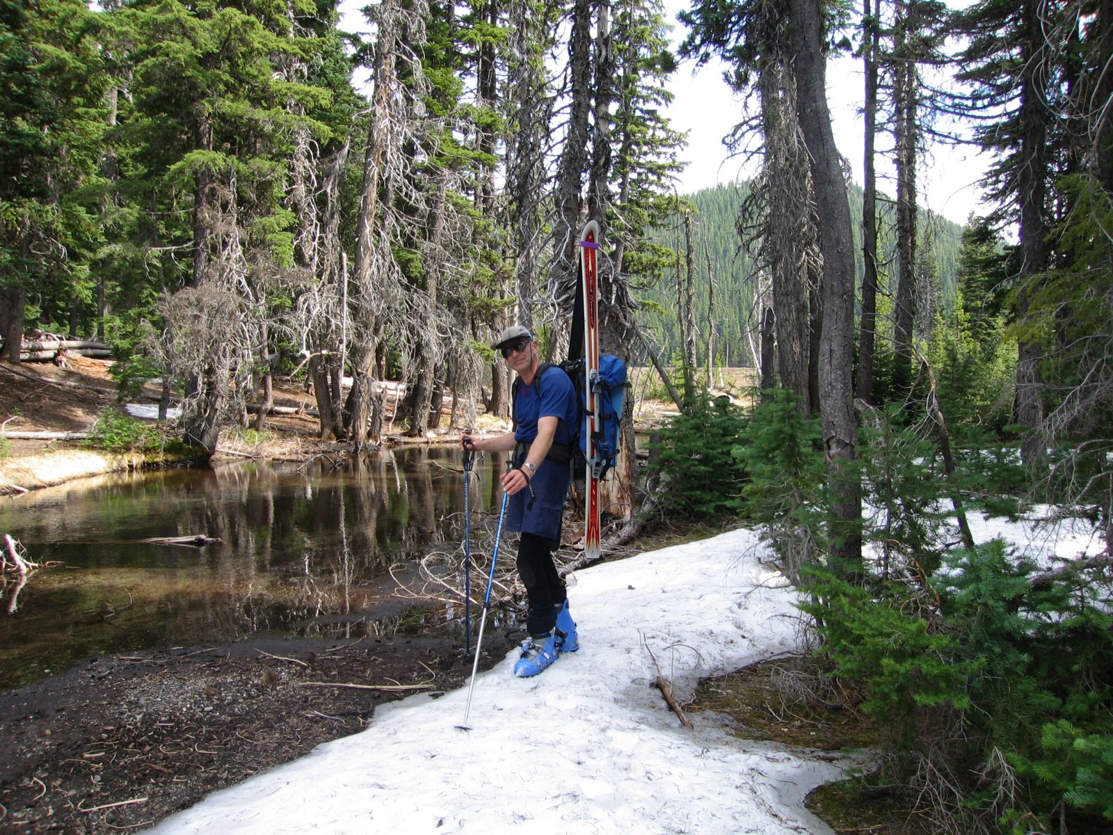
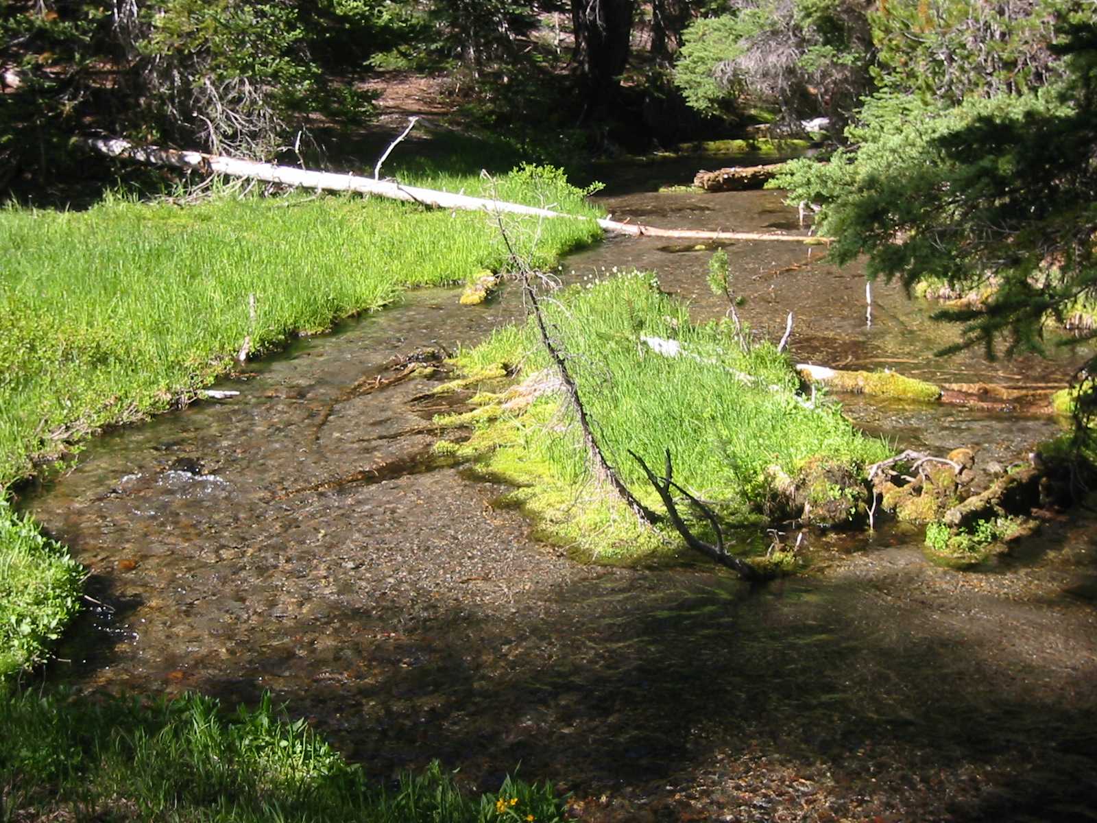
Back at Devils Creek |
Date: July 4, 2004
Party: DB and Jörg Rollbühler
Route: South Side, ski descent
Equipment: AT skis (DB)
Time: Devils Lake - Summit 4 hrs 50 mins, roundtrip from Devils Lake 10 hrs
Comments: Roundtrip time includes lounging for two hours on the flats after coming down
Trip report: Jörg was looking for a nontechnical climb, and I was looking for a way
to stay in shape until a week later, when I was planning on Forbidden Peak. I also didn't mind one last ski descent
before everything hopelessly melted out, and so South Sister was the perfect objective. Monique and Nicola came
along, but wanted to focus on painting rather than climbing. So we got going from the Devils Lake trailhead at
6:30am, with Jörg and me charging ahead. The weather was perfect, and we made good progress. On the last 500 vertical
feet I seriously felt the extra 40 pounds on my back, but we still reached the summit in less than five hours.
The visibility was superb; I've rarely seen Mt. Adams so clearly from there. The snow cover was not sufficient to
ski off of the true summit, but from about 50' below I skied to the south crater rim, mainly to get a feeling for
the snow conditions. At the rim Jörg and I parted ways, as I would go wherever the snow led me, while for him it
made much more sense to follow the trail back down. After hiking down maybe 100 vertical feet I reached the snow
field I had eyed from below, and from that point to the flats I had to take my skies off only once, to traverse a
10-foot section of pumice. The first 2,000 vertical feet were perfect corn, and the remaining distance to the flats
was still decent; all in all a really cool descent. On the flats I was met by Monique and Nicola, who had gone higher
than I would have guessed, to about 8,600', and had gotten a lot of painting and drawing done. We sat down in the
shade of some trees, and waited for Jörg. When he did not show up after an hour or so, the women decided to go down
towards Moraine Lake and do some more drawings. When they got back after another hour, and Jörg still had not shown
up, we decided that he must have missed us and was waiting down at Devils Lake, so we got on our way. Indeed, when I
caught up with a party we had met on the summit, they said they had seen him heading down way far to the west. Sure
enough, when we got to our car, there was Jörg. Going south on Cascades Lakes Highway I had to brake for a bear
that was running across the highway. Fortunately, I had seen it coming in time, unlike the unlucky elk the year before.
Very nice trip, and an ultra-cool ski descent, comparable to Mt. St. Helens in March 2004.
Photo Gallery:
Click the pictures to see a higher
resolution image. All photo credits Jörg Rollbühler
|
|
|
|
|
|
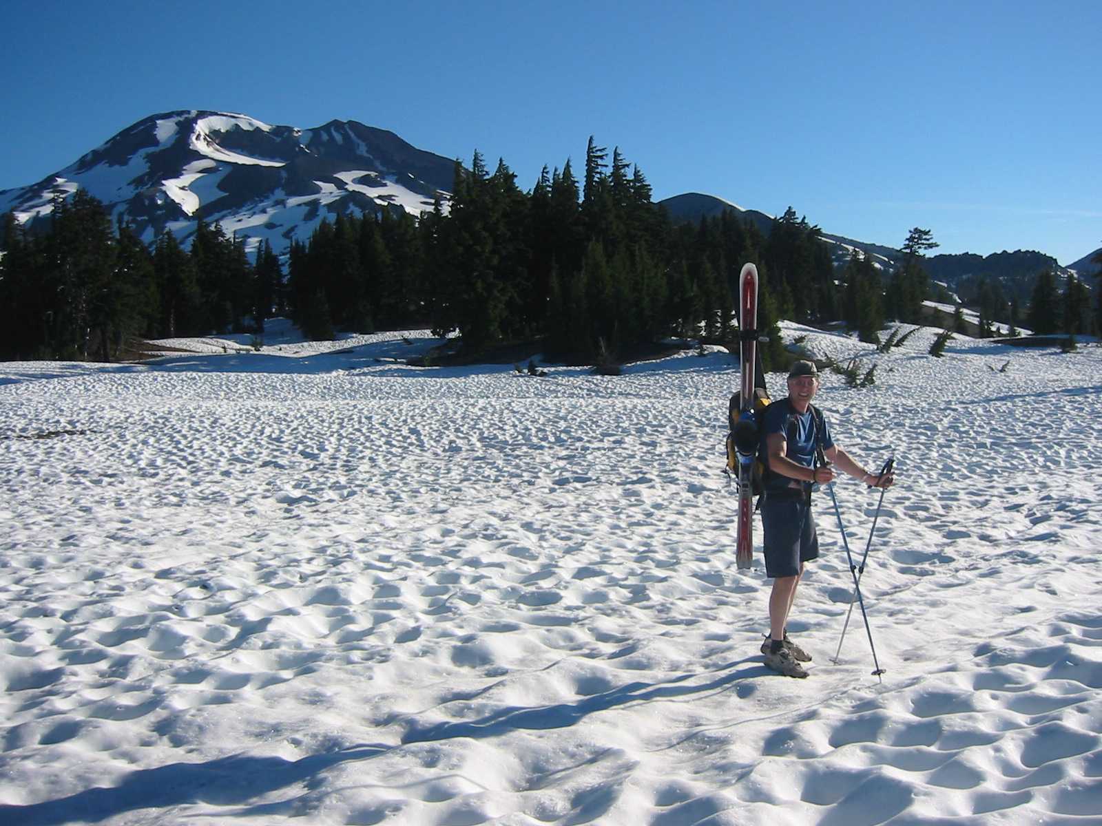
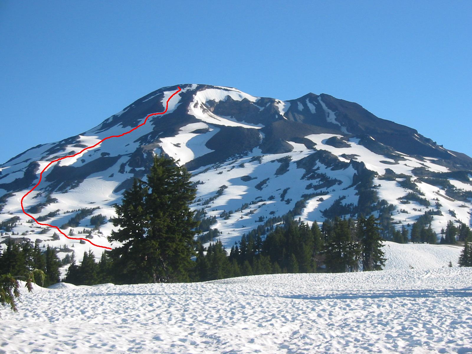
| The flats with view of South Sister. The line of my
ski descent is here |
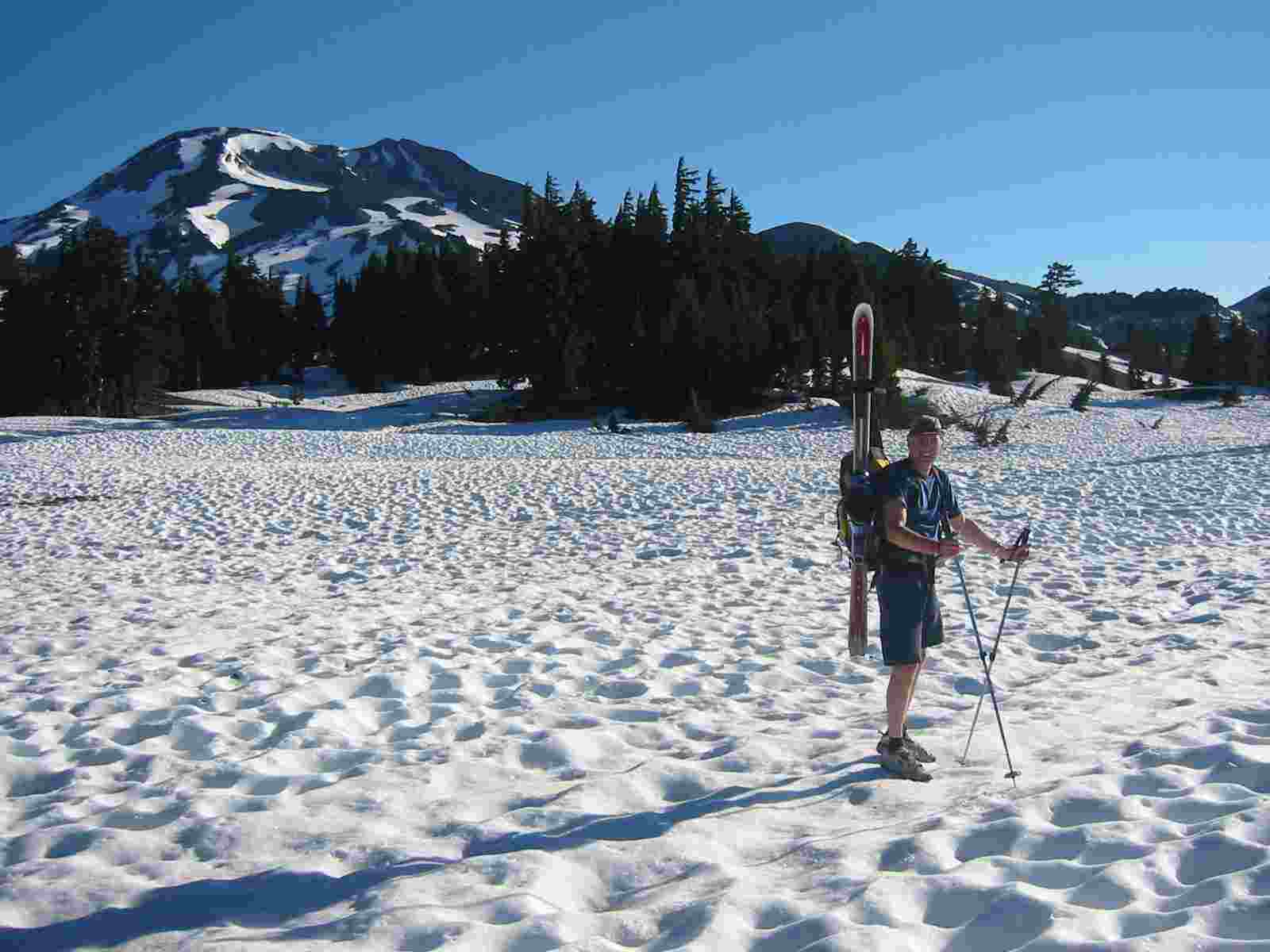
Hiking the flats |
View of Sparks Lake and Mt. Bachelor |
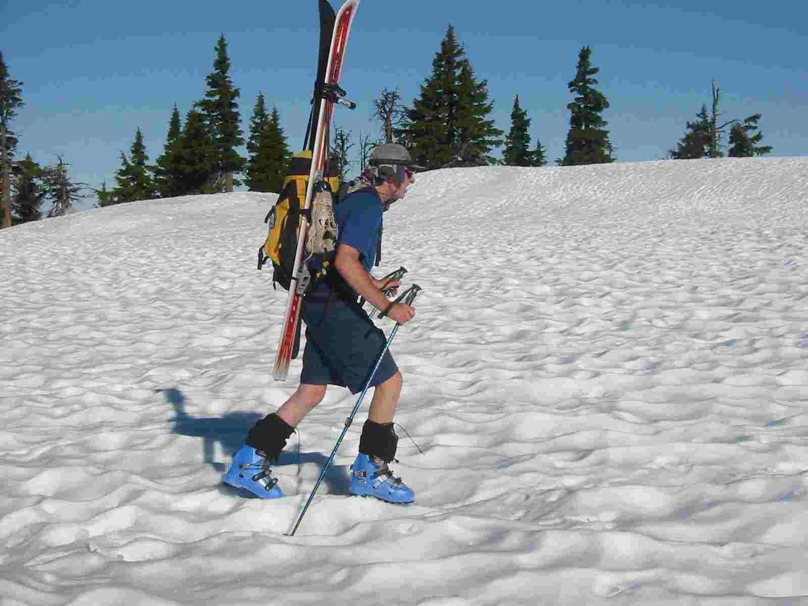
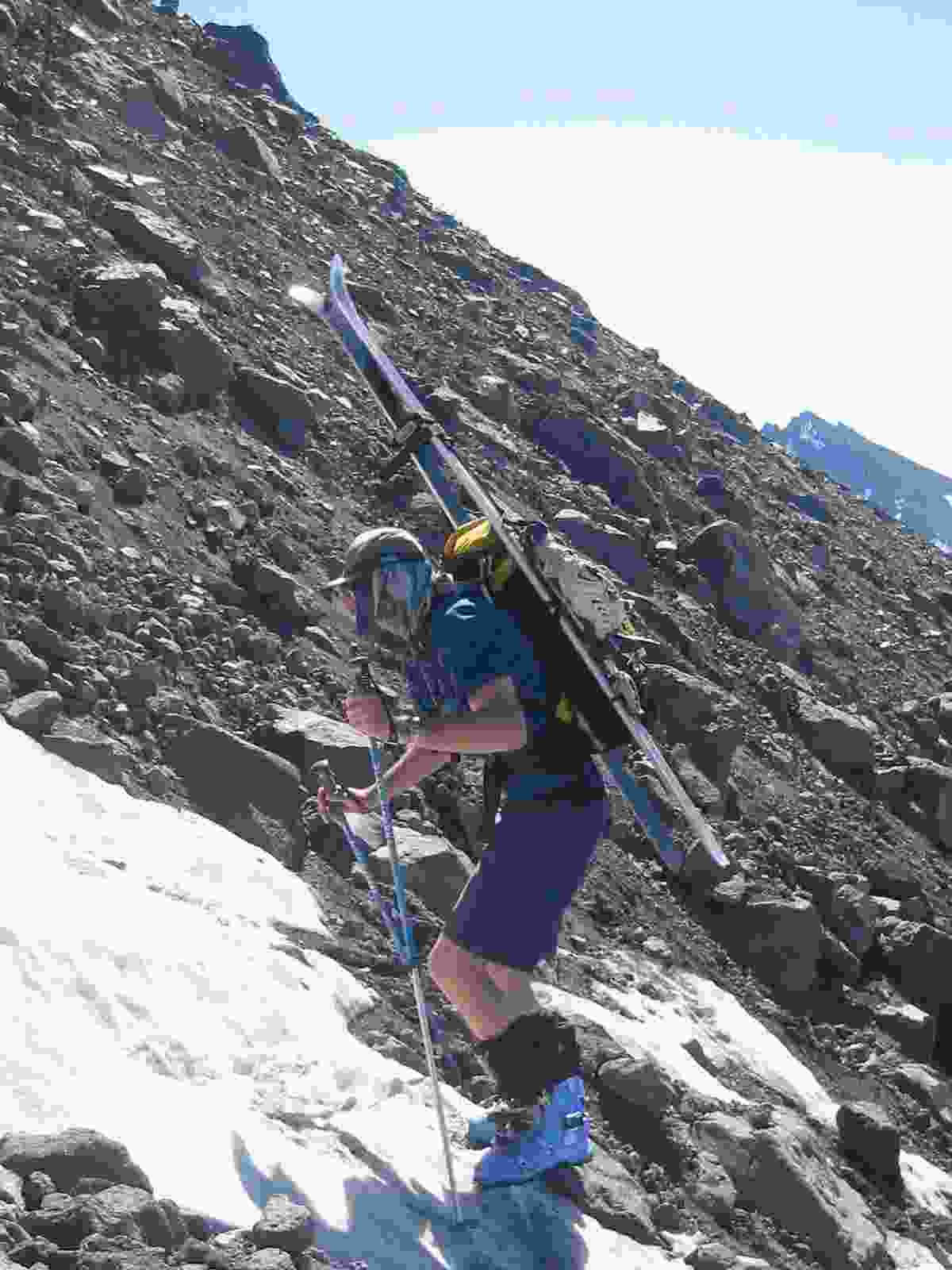
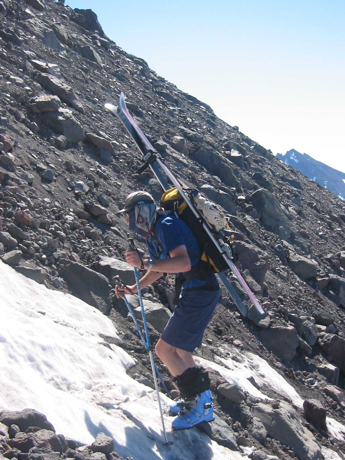
Climbing the Lewis Glacier Moraine |
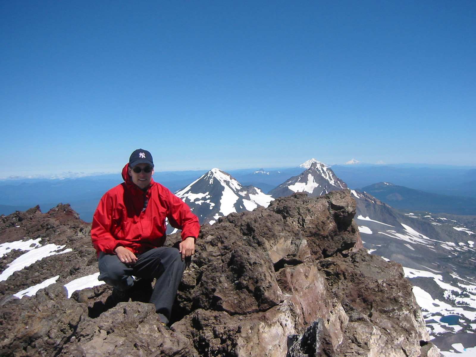
Jörg on the summit, view N |
Jörg on the summit, view SE |
|
|
|
|
|
|
|
|
|
| Me on the summit, view N |
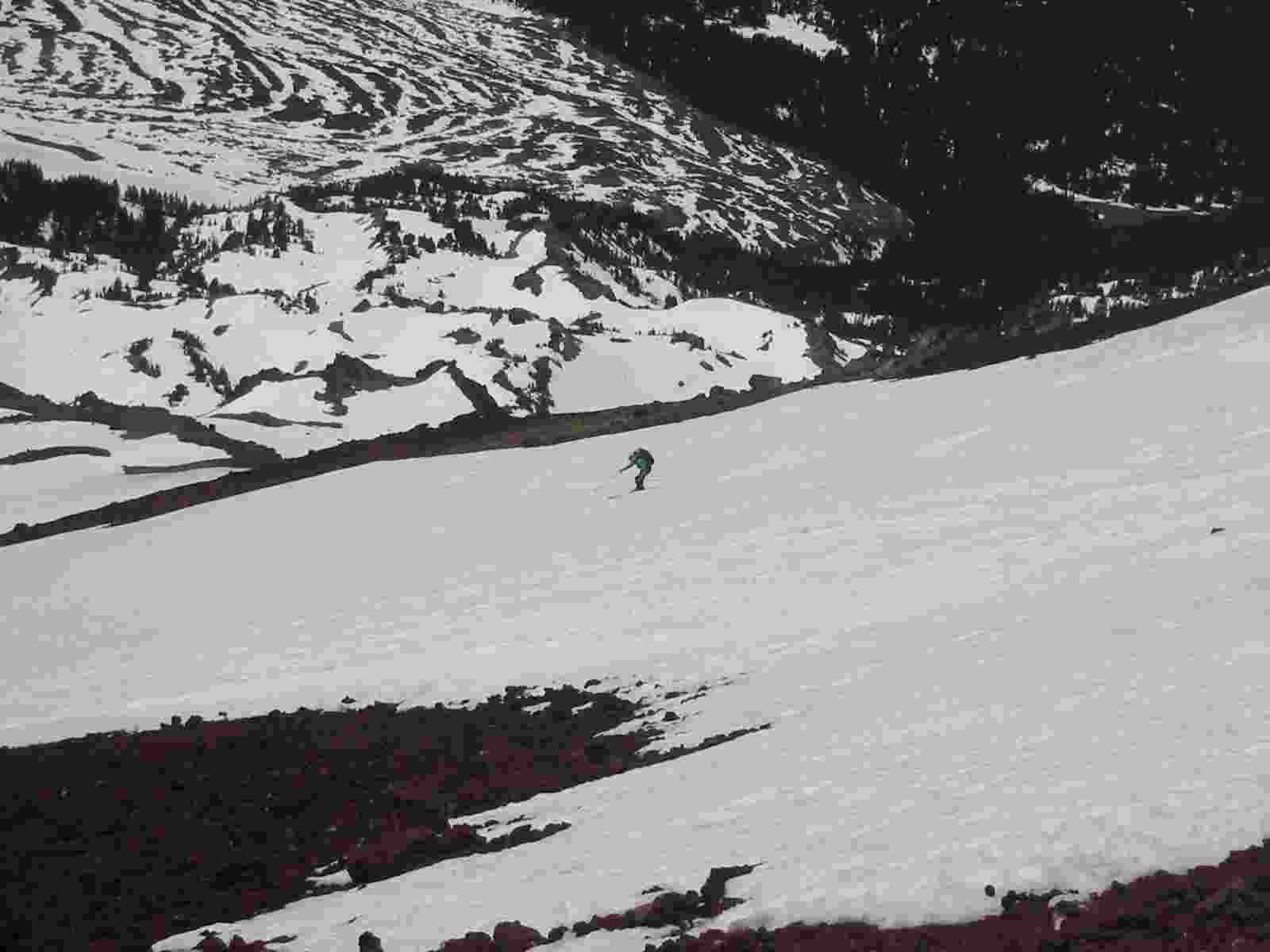
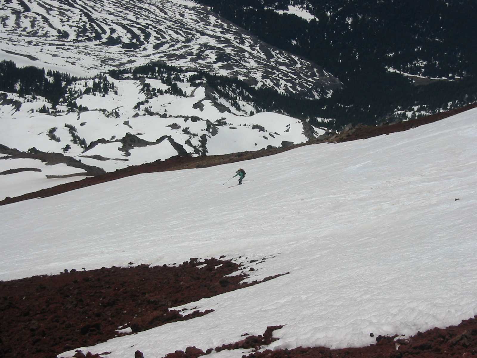
Me skiing the upper snow field |
Devils Creek |
Date: June 15, 2003
Party: Dietrich and Paul Belitz
Route: South Side, ski descent
Equipment: AT skis
Time: Devils Lake - Summit 5 hrs, roundtrip from Devils Lake 9 hrs 30 mins
Trip report: This was easily the most expensive trip I've done to date, as I totaled my
car in the twilight of dawn on the way to Devils Lake. (The responsible party, a huge elk, got totaled too, I'm afraid.)
I had some minor cuts and burns from the airbag, Paul was okay, and so we decided to do what we had come to do after all
and still managed to have fun skiing. We skied from the true summit to within 300 or so vertical feet of the trailhead.
Snow quality varied from icy (above 9,500') to perfect corn (9,500' - 7,500') to slush (below 7,500'). The wrecked car
even got us home, but just barely. It went to the junk yard the next day.
Date: June 8-9, 1998
Party: Dietrich Belitz and Dave Cohen
Route: South Side variation from Green Lakes
Equipment: Crampons and ice axe
Time: Highway - Green Lakes 4 hrs
 Green Lakes - Summit 5 hrs 45 mins
Summit - Green Lakes 2 hrs 30 mins
Green Lakes - Highway 3 hrs 30 mins
Trip report: The plan had been to climb Prouty Glacier, but a
combination of arriving late in camp at Green Lakes due to bad snow conditions and
unstable weather made us change plans and do the standard route instead. It was just as
well, as the snow was indeed horribly soft and unstable most of the way, and from the
Lewis Glacier saddle upward we had to fight fog, snow, and hail. Close to the crater
rim my ice axe started humming, an effect that got stronger as we started to traverse
toward the true summit. I should have known better, but after planting the thing as a
lightning rod I continued to the summit. (Dave never noticed anything electric, and I
did not tell him.) After taking a few pictures we got the hell out of there and ran
back down to Green Lakes, only to find our tent sitting in a small pool. The day before
it had looked attractive to pitch the tent on the forest floor in the melted-out ring
around a tree, but given the thunderstorms that turned out to not have been such a
great idea. We packed our wet belongings and postholed back to the highway, carefull to
not fall into Fall Creek that was raging underneath the snow.


