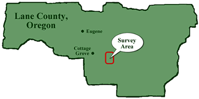
All habitat surveys were conducted on Bureau of Land Management properties located to the east and south-east of Cottage Grove, near Dorena Resevoir. The map (right) shows the general survey area within Lane County, Oregon.
Survey Polygons
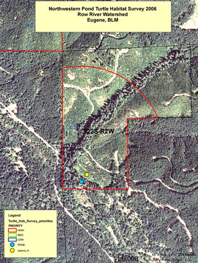
The Interactive Map (left) is an example of a completed survey polygon. To view photographs of example habitat types, point and click on the blue or yellow dots representing aquatic habitat and upland habitat respectively.
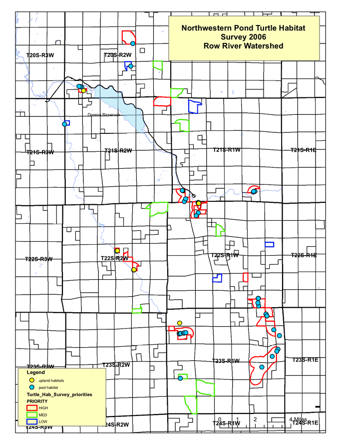
Surveyed Habitat Features
Above is a map of all polygons surveyed over the course of this project. Polygons are outlined in colors according to their survey priority as assigned by Paula Larson of the BLM. Blue dots represent aquatic habitat features. Yellow dots represent associated upland habitat features.