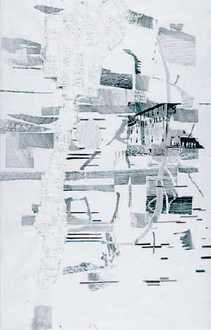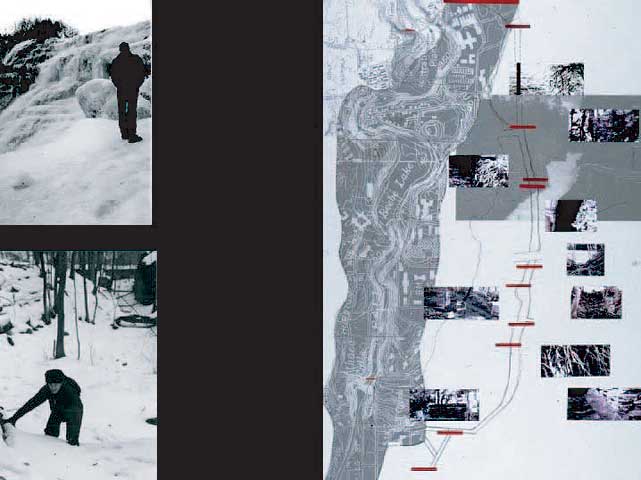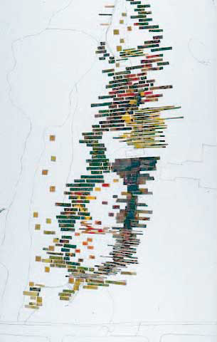
Drifts and Maps:
Ithaca Falls. 1999
Collaboration with John Barney
An important project in the SEARCH.MEASURE.STALK series, being the first in which many of the ideas and methods of searching and mapping a site were formed and tested. A green space design project that used maps and walking to examine the relationship of water and a contaminated landscape, DRIFTS and MAPS studied the abandoned industrial center of Ithaca, New York.
The map on the left represents an inventory of plants. The map on the right depicts waterways and industrial history of the site.